What the work claims
That Zheng He led seven large-scale, state-directed naval expeditions across the Indian Ocean; that they projected Ming authority through gift exchange and captive diplomacy; that they generated navigational knowledge preserved in maps and texts; and that physical traces—shipyard remains and sunken vessels—survive.
How it was done
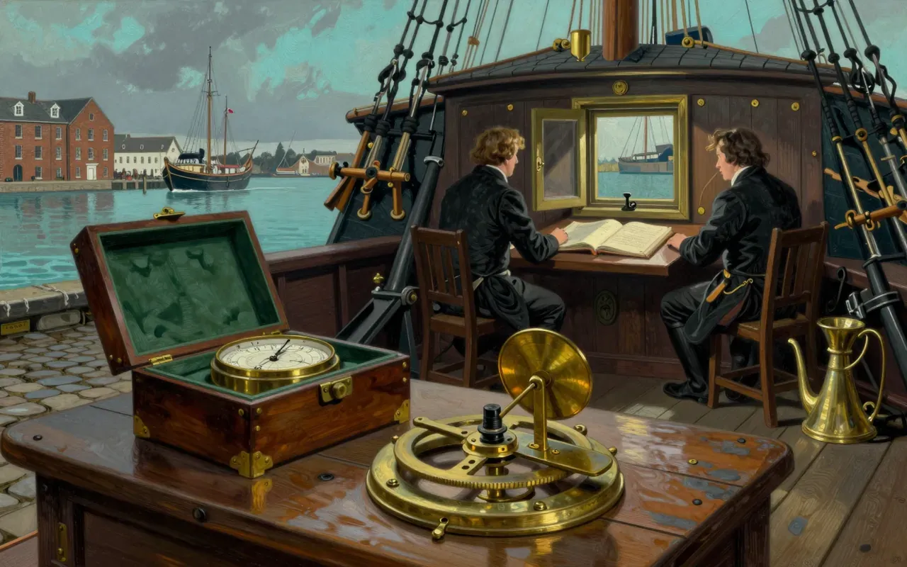
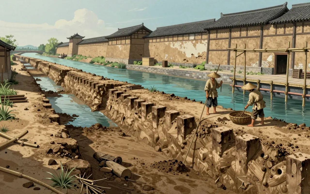
Zheng He commanded seven state-sponsored naval expeditions between 1405 and 1433 under Ming emperors. His first voyage launched on 11 July 1405 from Suzhou with 317 ships and nearly 28,000 crewmen. Sailing charts—the Mao Kun map—were later published in the Wubei Zhi (1628), tracing back to these voyages. Luo Maodeng’s 1597 novel described the treasure ships’ dimensions. The Treasure Shipyard in Nanjing was excavated in 2003–2004. Seven sunken ships near Dongsha Island were confirmed as belonging to his fleet.
What holds up
Seven voyages occurred between 1405 and 1433. The first departed 11 July 1405 from Suzhou with 317 ships and nearly 28,000 crewmen. Fleets reached Brunei, Java, Siam, Southeast Asia, India, the Horn of Africa, and Arabia. Zheng He returned with trophies and envoys from over thirty kingdoms—including King Vira Alakeshwara of Ceylon. The Mao Kun map was published in 1628 and traced to Zheng He’s voyages. The Nanjing Treasure Shipyard was excavated in 2003–2004. Seven wrecks near Dongsha Island were confirmed as his fleet’s.
What does not
The material does not establish the operational range or seaworthiness of the 44.4-zhang ships. It does not confirm whether the Mao Kun map reflects real-time navigation or later reconstruction. It does not verify the fate of the envoys or trophies beyond their return. It does not link the Dongsha wrecks to specific voyages, dates, or ship functions.
Why it matters beyond the lab
It challenges Eurocentric narratives of maritime exploration by documenting a state-organised, multi-decade Indian Ocean presence decades before Vasco da Gama. But it does not show trade-driven settlement, resource extraction, or lasting administrative control—so it redefines scale and intent, not outcome.
Is it worth your time
Yes—if you need evidence of pre-modern state-scale maritime logistics, or want to test claims about ship size, command structure, or Indian Ocean diplomacy before European dominance. Not if you seek proof of global circumnavigation, technological supremacy, or sustained colonial infrastructure.